Ground Truth
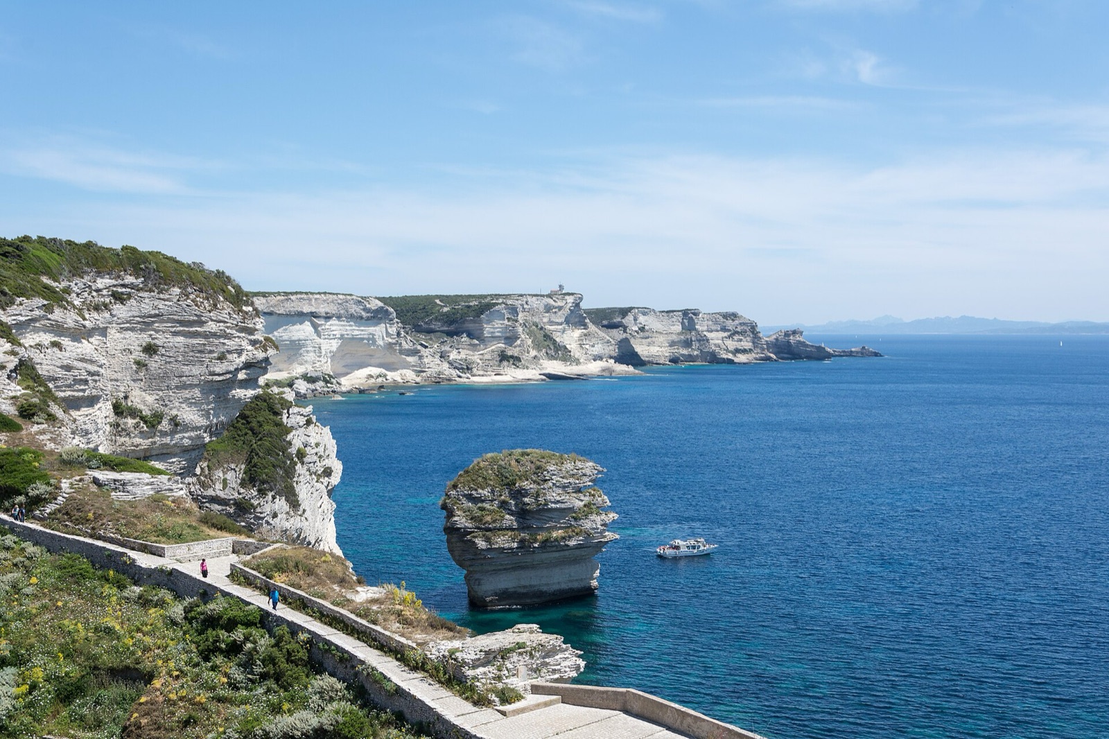
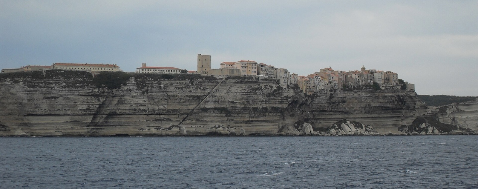
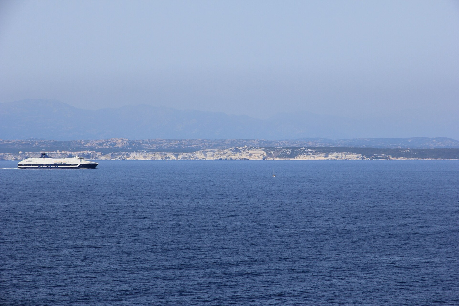
We have stood on the ramparts of Bonifacio, where Corsica ends in a wall of white limestone, and watched the water below behave less like a channel than a wind tunnel with a floor. Eleven kilometres of open sea separate the southern tip of Corsica from the north coast of Sardinia. It is not a wide gap. It is one of the harder pieces of water in the Mediterranean, and it has been drowning ships for as long as ships have tried it.
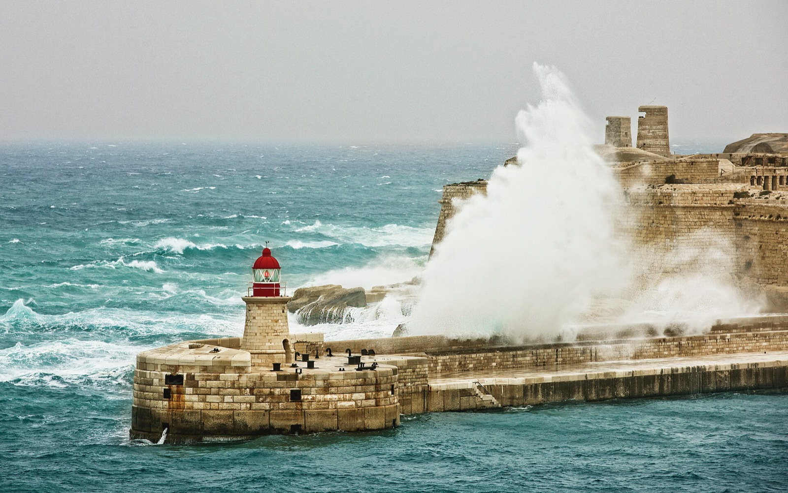
The strait runs roughly east to west, and so does most of the weather that matters here. Westerlies and the mistral, squeezed between two mountainous islands, gather speed as the gap narrows, the way a river quickens through a gorge. What sits over the open sea as a firm breeze arrives in the channel as a hard blow. The strait also marks the door between the Tyrrhenian Sea and the western Mediterranean, and the two basins do not trade water quietly. The currents answer the wind more than the clock, which is exactly the problem. A skipper cannot set his watch by them.
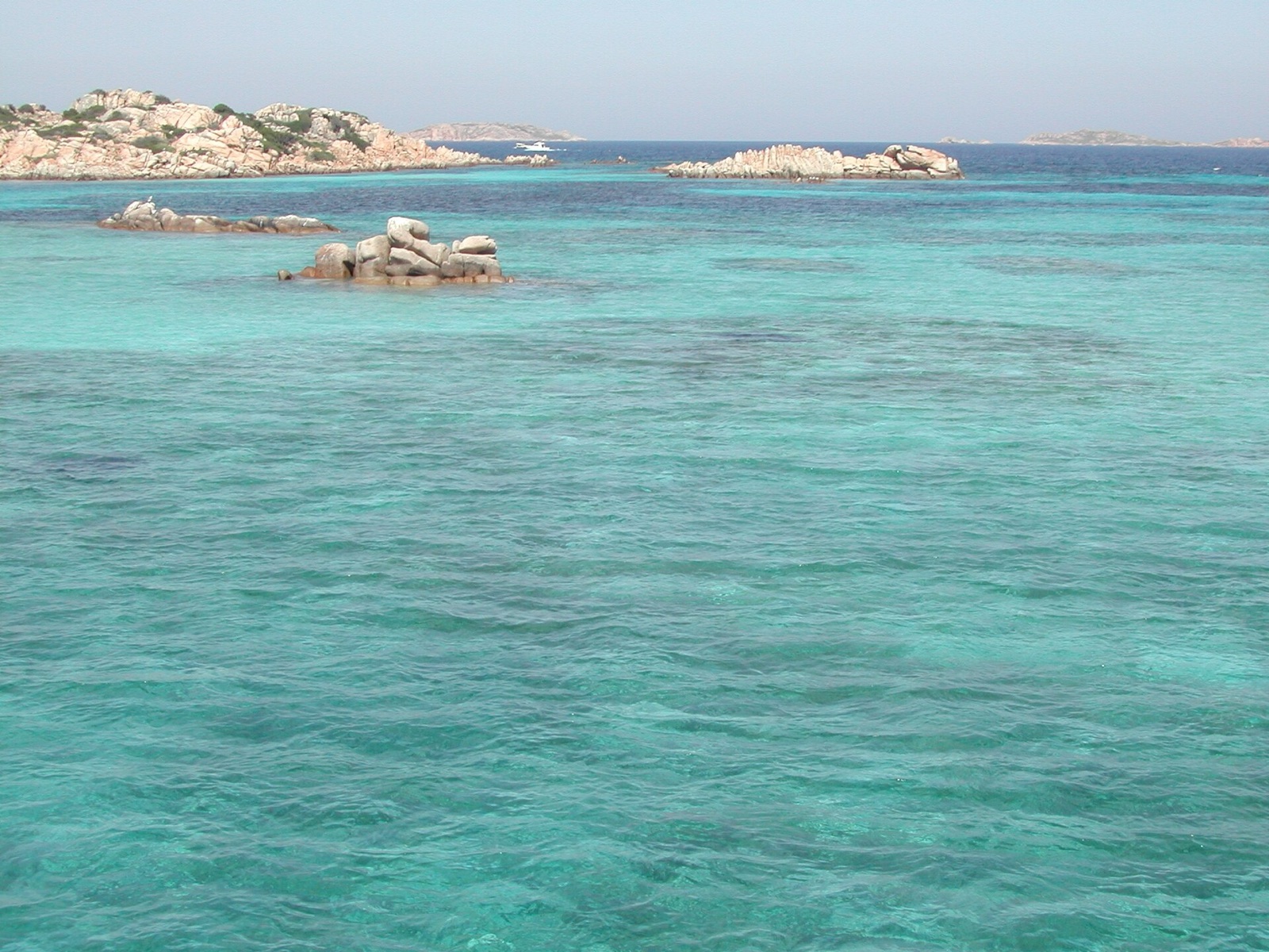
Then there is the floor. By Mediterranean standards the channel is shallow, a hundred metres at its deepest, and littered with rock. On the Corsican side lie the Lavezzi, a scatter of low granite islets and half-drowned reefs that give almost no warning after dark. On the Sardinian side the Maddalena archipelago crowds the approach. The safe water is narrow, and the marked water narrower still.
The strait keeps no timetable you can trust. The wind writes the rules here, and it rewrites them by the hour.
The graveyard is not a figure of speech. On the night of 15 February 1855 the French frigate Semillante, carrying reinforcements to the Crimean War, was driven onto the Lavezzi reefs in a gale. All 693 men aboard were lost. Two small walled cemeteries still stand on the island above the rocks that took them, and a cairn of boulders marks the wreck. It was neither the first disaster here nor the last.
The modern answer has been to fence the water with rules. After a tanker grounded in 1993, France and Italy barred their own flagged ships carrying dangerous cargo from the strait altogether. The whole passage is now a Particularly Sensitive Sea Area, watched by reporting stations on Corsica and on Maddalena that track every hull through the gate.
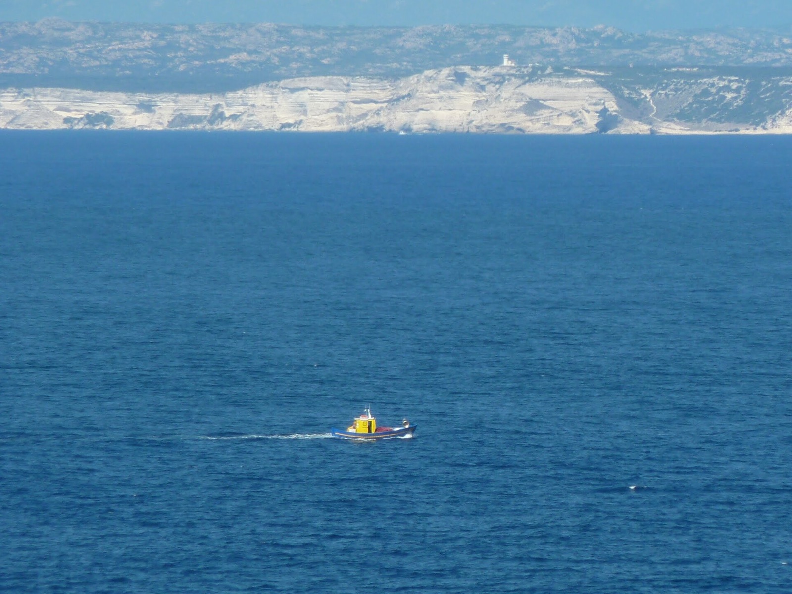
From the cliffs of Bonifacio the far shore looks close enough to swim to. That is the deception the strait has always traded on. The distance is short. The water is not kind.