Ground Truth
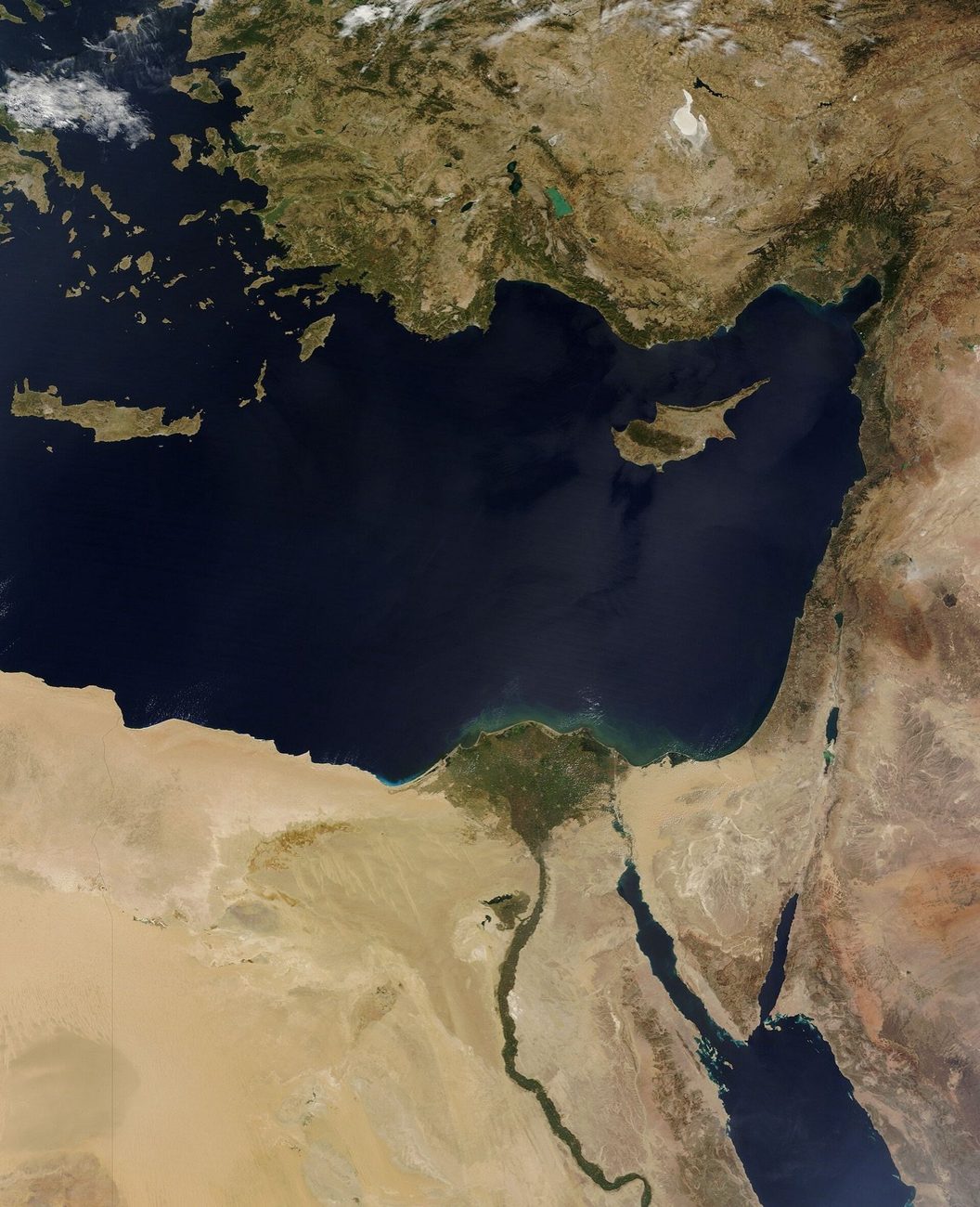
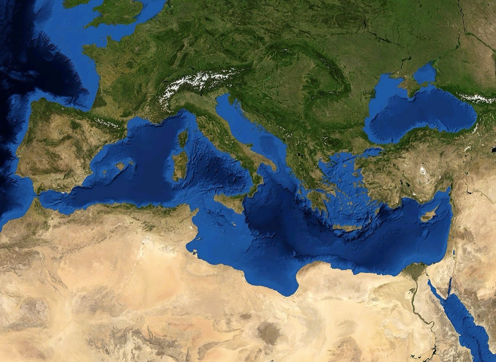
Look at a map of the Mediterranean and you see a finished thing, a blue basin held neatly between three continents. It is not finished, and it has not always been blue. Buried under the deep seabed, in places more than a kilometre thick, lies a layer of salt that has no business being there. It is the record of the time the sea all but vanished.
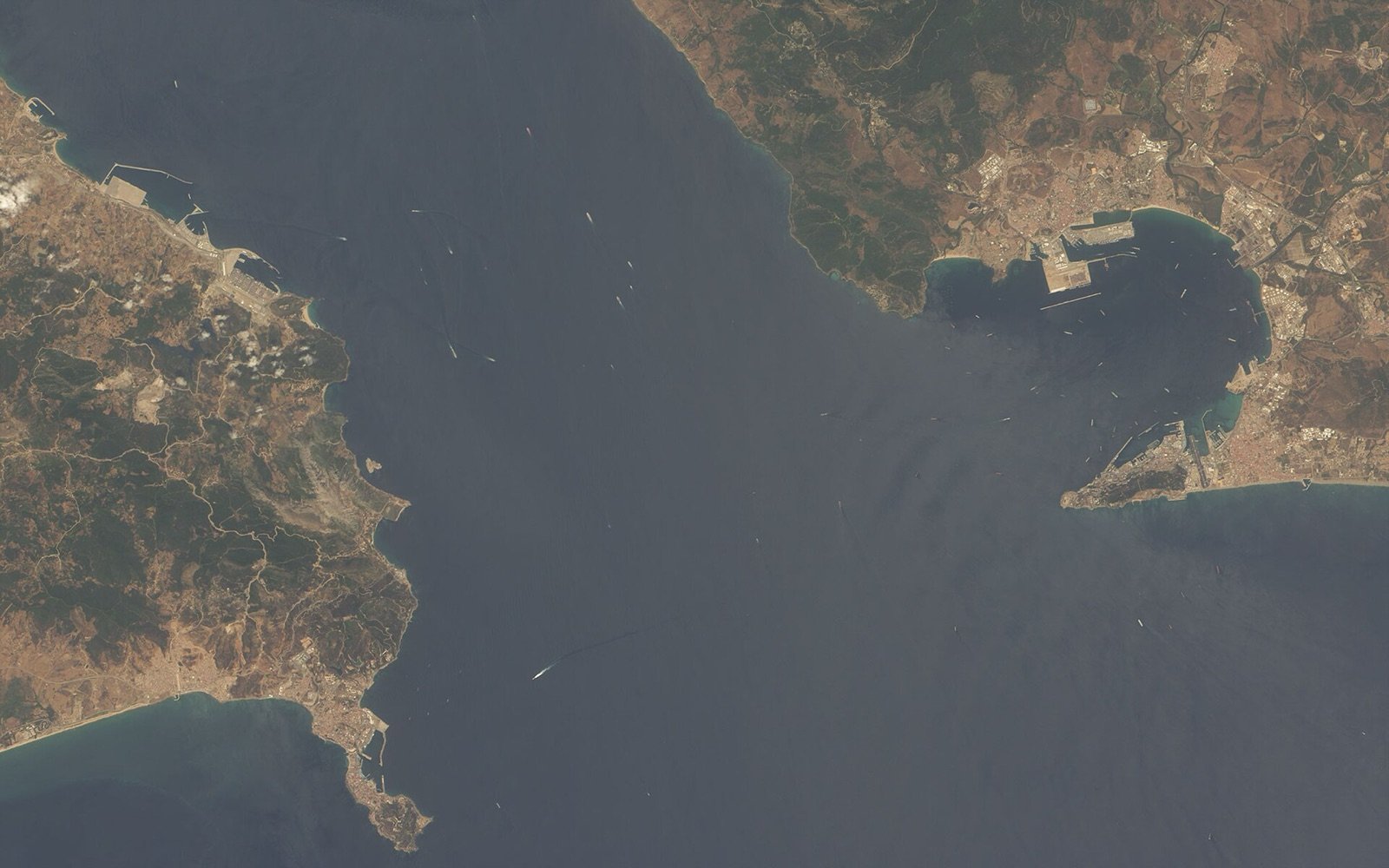
Between roughly 5.96 and 5.33 million years ago the Mediterranean came close to drying out completely. Geologists call it the Messinian Salinity Crisis, and the name rather undersells it. Africa had drifted north until it nearly sealed the western gate at Gibraltar, cutting the basin off from the Atlantic that feeds it. A hot sea shut inside a closing box does one thing. It evaporates.
A sea the size of a continent turned to stone, and the stone is still down there, holding the shape of an absence.
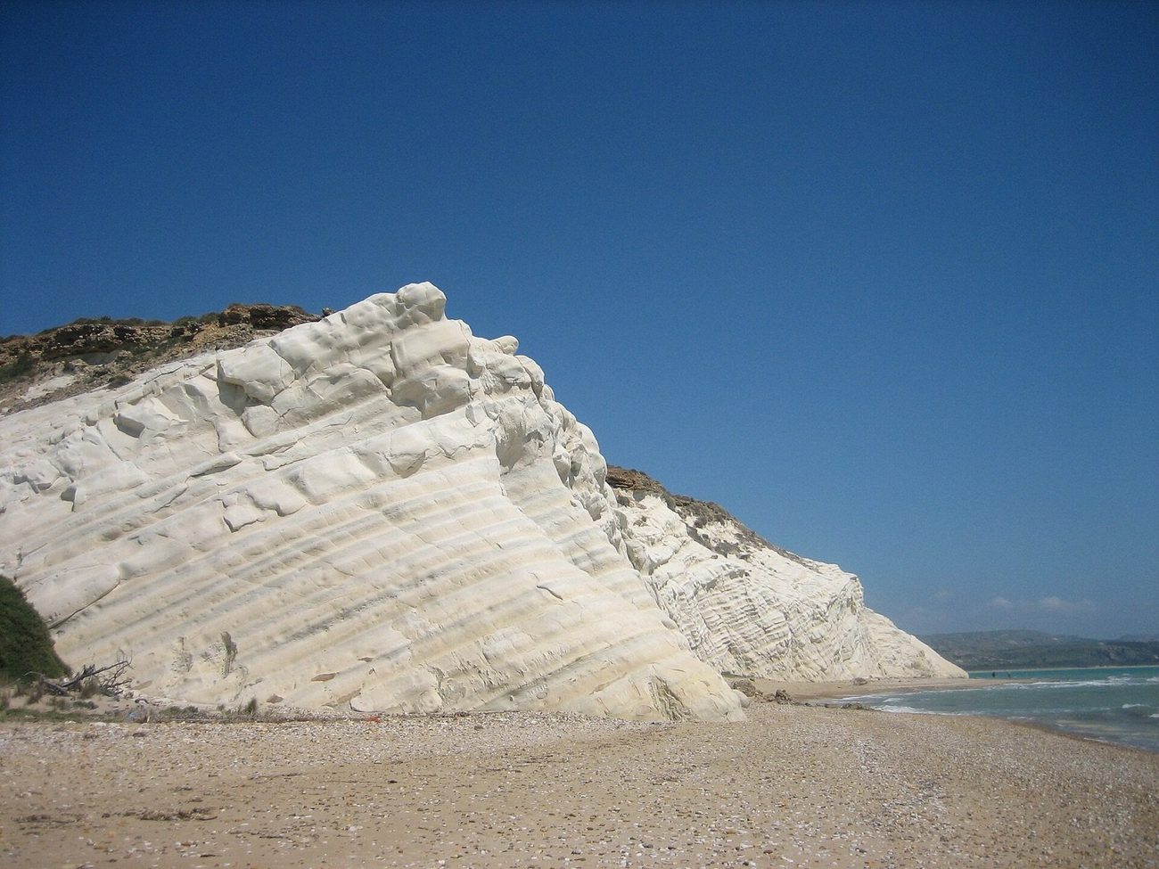
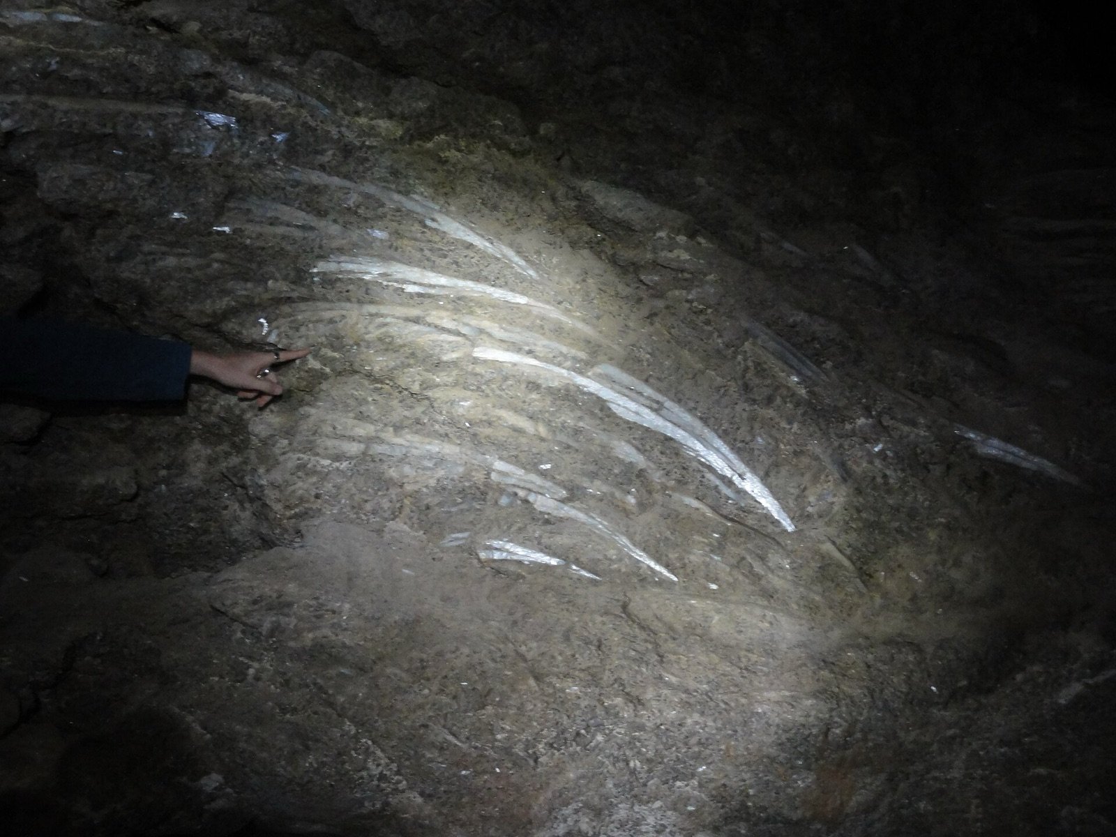
What it left is hard to picture. Cores drilled from the seabed came up full of gypsum and rock salt where soft mud should have been, more than a million cubic kilometres of the stuff, something like fifty times all the salt now dissolved in Mediterranean water. You can read the same story on land, in daylight. The pale cliffs of Capo Bianco in Sicily and the gypsum karst of Sorbas in Spain are Messinian evaporites, the crystallised residue of that lost sea, lifted and left where you can walk up and put a hand on them.
The effects ran well beyond the basin. Locking that much salt into the seabed shifted the chemistry of the whole world ocean. The rivers that fed the sea, the Nile among them, cut their beds down towards the new low floor, carving gorges that were later drowned and buried under younger sediment. For half a million years the map of southern Europe was salt flats and deep canyons rather than coast.
The basin did not stay empty. Around 5.33 million years ago the Atlantic broke back through at Gibraltar, and the refill was anything but gentle. The leading model has water pouring in through a single channel and the level rising by metres a day, the whole sea filling over a span better counted in months and years than in millennia. The Zanclean flood, they call it, and it drew the coastline we swim from now.
None of this shows from a sun lounger. The islands, the depth of the water, its plain saltiness, all of it sits on top of that buried giant. The sea we book flights to is younger than it looks, and the proof lies a kilometre down, patient, waiting for the next drill core.