The Via Egnatia was Rome's road to the east. Laid between 146 and 120 BC under Gnaeus Egnatius, the proconsul of Macedonia who gave it his name, it carried the empire roughly 1,120 kilometres from the Adriatic at Dyrrachium, now Durres, to Byzantium. It was the overland continuation of the Via Appia, the way legions, pilgrims and grain moved between the two halves of the Roman world. In places the polygonal paving still runs six metres wide, the width of a modern lane, worn smooth by twenty centuries.
For most of its life the road survived as a line on a map and a few slabs behind a fence. That is changing. Heritage teams in Albania, North Macedonia and Greece are clearing, mapping and waymarking the surviving stretches, and stone that once carried Cicero and St Paul is taking walkers again. Here are five sections you can put underfoot now.
- Durres, the Adriatic gate. The old western terminus, ancient Dyrrachium, where the sea traffic from Brindisi came ashore and the road began. Little paving survives in the busy modern port, but the Roman amphitheatre and the Byzantine walls set the scene, and the alignment south towards Apollonia still shadows the ancient line.
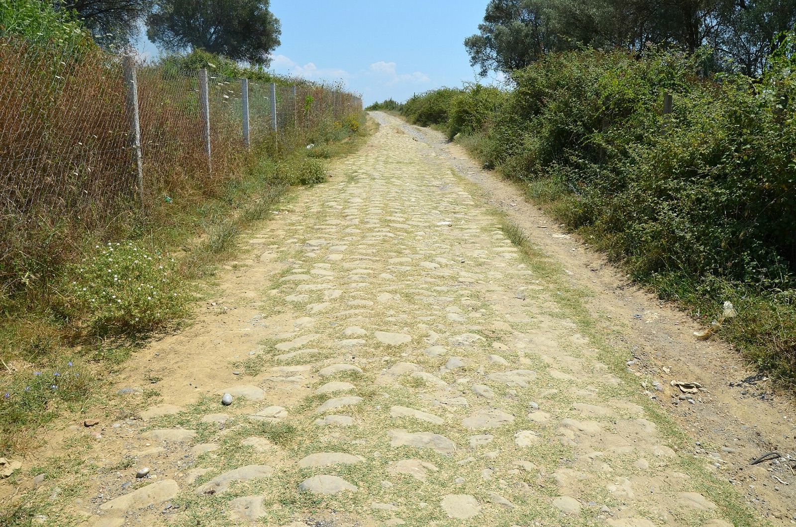
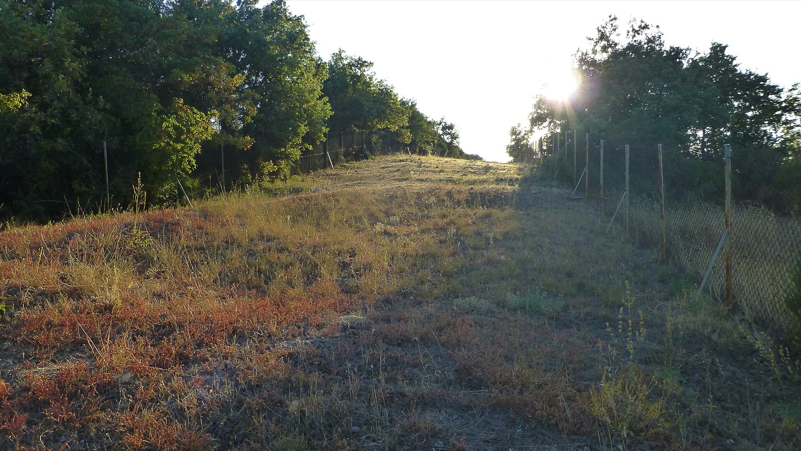
- Peqin and the Albanian hills. Inland from Elbasan the road climbs through open farmland, and near Peqin a bare, unfenced run of Roman surface lies out in the fields. This is the Egnatia at its most honest: no ticket, no rope, just the crown of the road under the sun.
- Ohrid, the lake crossing. The road ran along the shore of Lake Ohrid to Lychnidos, a staging post on what is now the border between Albania and North Macedonia. A Roman milestone from the route survives in the town, cut with the distances that once told a traveller exactly how far Rome lay behind.
- Edessa, the waymarked miles. West of Edessa a signposted trail now threads Agras, Nisi and Arnissa, with more line running east through Ekklisiochori, part of an Erasmus-funded scheme with Paths of Greece to reopen the road as a walking route. It is the easiest stretch to hike as a marked path rather than a hunt for buried stones.
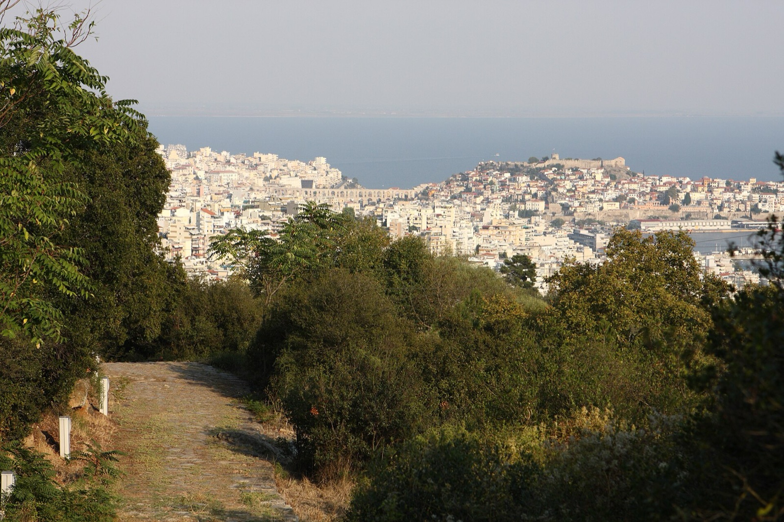
- Kavala to Philippi, the best-preserved run. Above Kavala, ancient Neapolis, a long paved section ascends beside a stream towards Philippi, where the Egnatia becomes the colony's main street past the forum. St Paul came ashore here in AD 49. Further east, near Loutra Traianopolis by Alexandroupolis, another stretch runs on towards Thrace and, eventually, Byzantium.
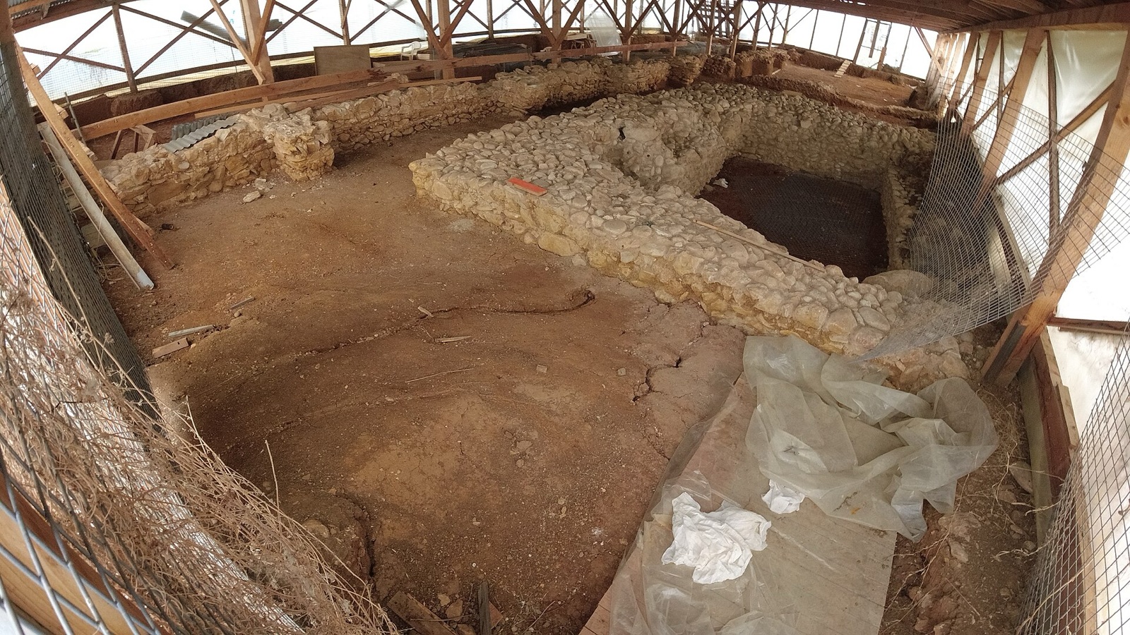
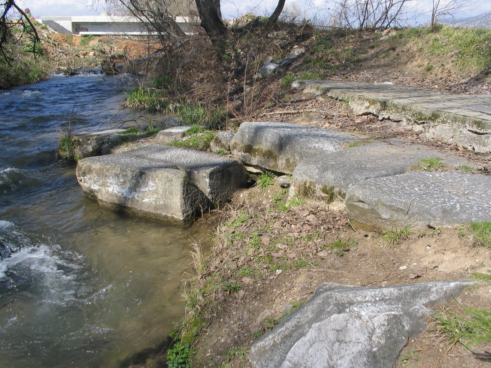
The Via Egnatia today, west to east: the road near Peqin in Albania, a relay station at Lithohori, the Roman bridge at Philippi, and the paving near Loutra Traianopolis in Thrace.
Photos: Carole Raddato from FRANKFURT, Germany, Wikimedia Commons (CC BY-SA 2.0), DocWoKav, Wikimedia Commons (CC BY-SA 4.0), Ian W. Scott, Wikimedia Commons (CC BY-SA 3.0).
The Edit is a VANE Bearings column. We choose the way we choose hotels, on our own terms, with no placement bought. Photo: Philipp Pilhofer, Wikimedia Commons (CC BY-SA 3.0).
← More from Bearings